|
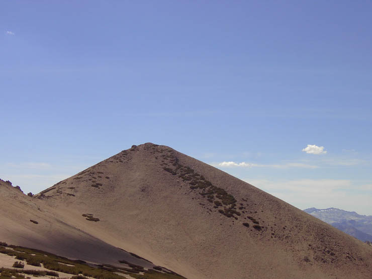
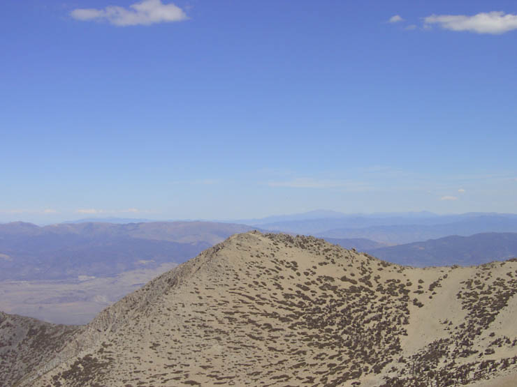
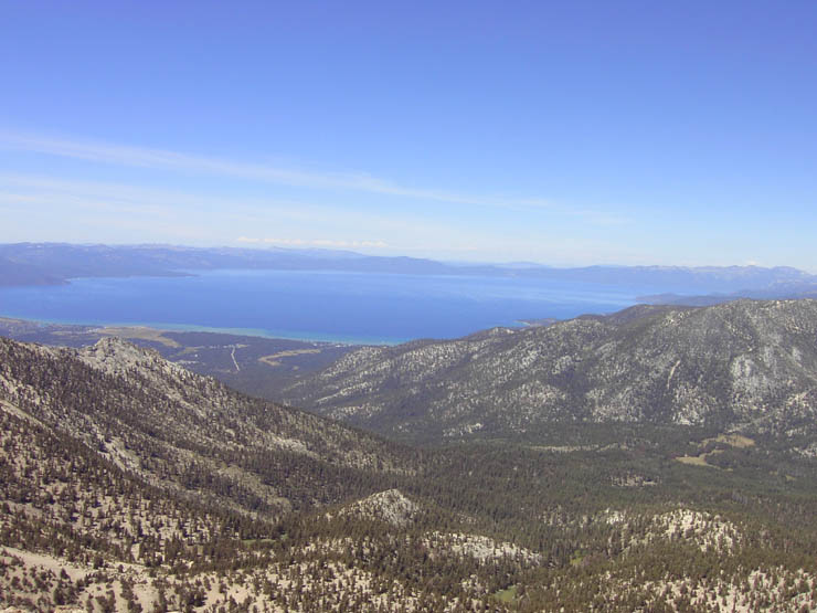
Freel Peak is the highest peak in the
entire Lake Tahoe region as well as the tallest peak in the Carson
Range. Despite this, it can still be done easily as a day hike if
you are in good shape and know the proper route. The peak provides
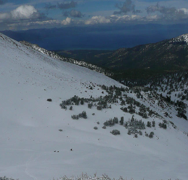
great views of the lake as well as the Carson Valley to the east and
the Crystal Range to the west. It's rather easy to do Freel Peak and
Jobs Sister (10,823') in the
same day since they share a ridgeline. You can also add in Jobs Peak
(10,633'), although that takes it up several notches.
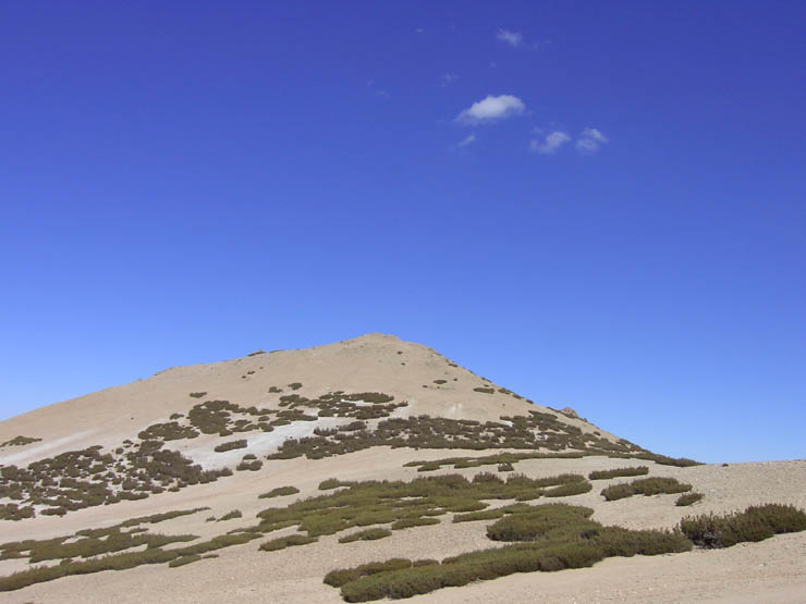
With the exception of the direct route up the backside, you should be
able to get at least one refill of water along most of the routes from
creeks or spring fed streams. Star Lake is the only lake in the area.
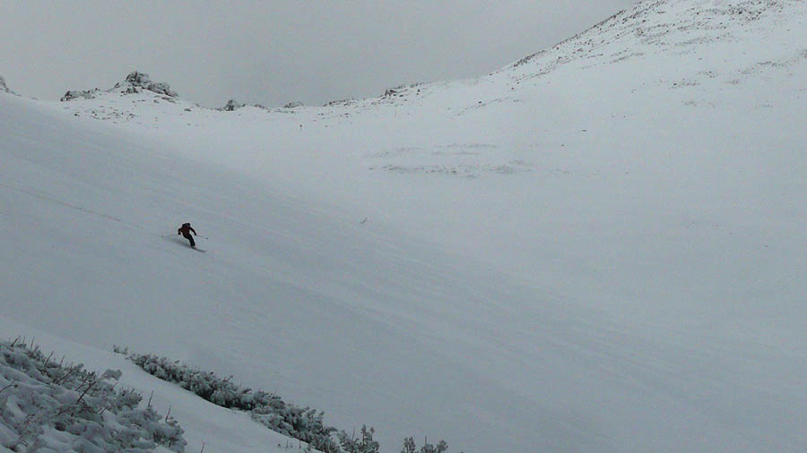
The north bowl of Freel is a popular backcountry destination in the
winter, especially early season due to it's elevation and the fact that
it takes very little snow to cover all the small rocks and scree.
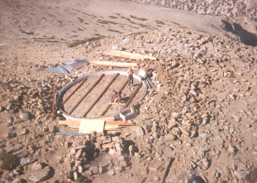
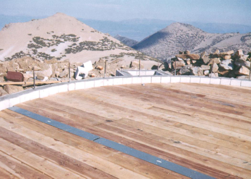
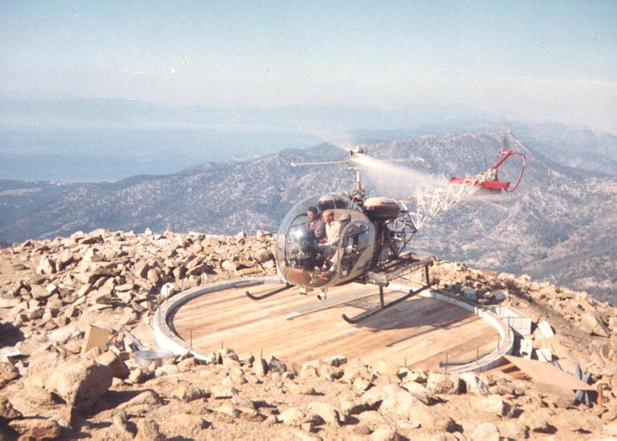
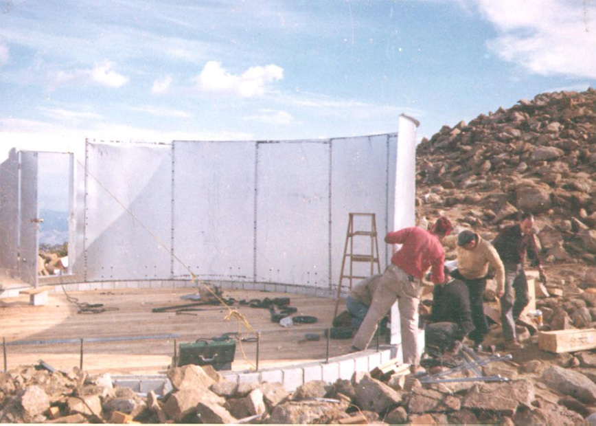
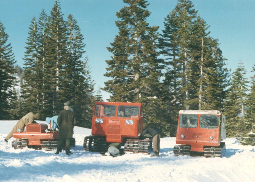
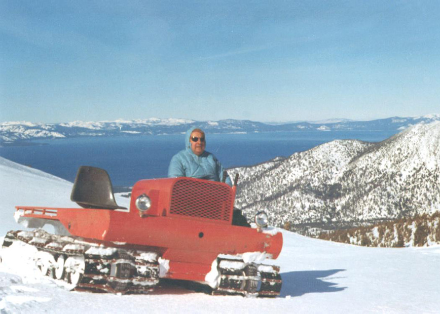
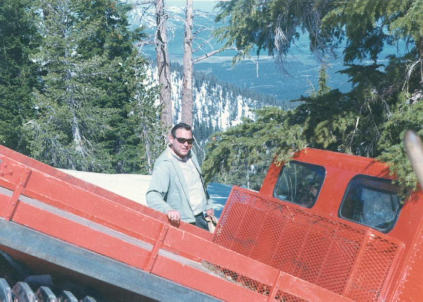
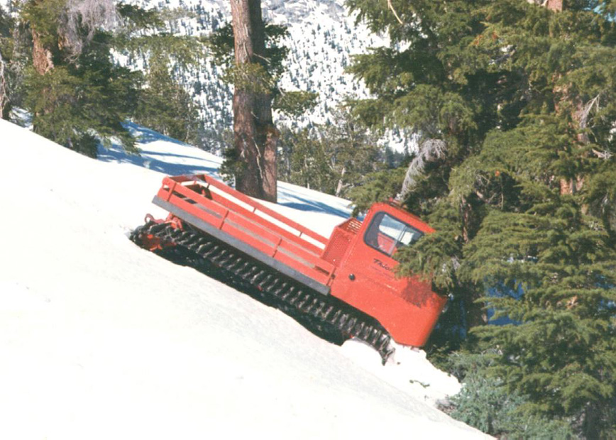
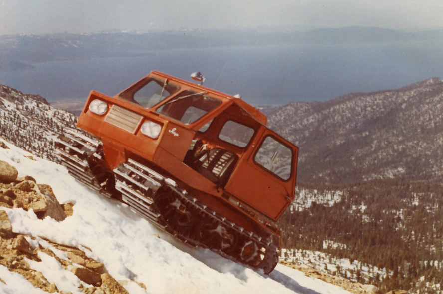
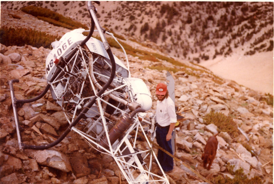
Historical
photos - The photos
below were provided by Bill Blas, who worked on the Freel site while
working with Western TeleCommunications, Inc.
Thanks Bill
Directions
1. Head south from Meyers on Hwy 89 until you start heading down the
backside of Luther Pass. Turn left onto FS 051 and follow for about 3
miles. Park and head up. This requires pretty high clearance and is
closed in winter (or when there is snow below 8k). This is a direct
cross country route.
Earlier on FS 051 you will see a small parking area and trailhead. The
trail will take you up to Armstrong Pass where you can gain the Tahoe
Rim Trail.
2. In South Lake Tahoe, park at the end of High Meadows Road. Continue
hiking on the road up to the Star Lake turnoff. From Star Lake you can
gain the Rim Trail.
3. Park at the top of Oneidas/Fountainplace Road. Head up to Armstrong
Pass and get on the Rim Trail.
|