The Vitals
|
|
Elevation
- 9,735', Rock - Granite and metamorphised sedimentary
Directions
- Winter - Park off Highway 89 near Spring Creek Tract Road. This is
also a chain up area so leave room for cars to chain up or
risk a ticket. There are numerous summer options.
|
 |
Lake
Tahoe's most iconic peak
Great skiing terrain
Fantasic views |
 |
Lack of mountain
biking.
Lack of winter trailhead.
|
Locals Tips
If you want cell/data
service here, switch to Verizon.
|
Recommended Gear
Climbing Skins
GPS Device
Backcountry
Touring Pack
Hydration Pack
|
 |
|
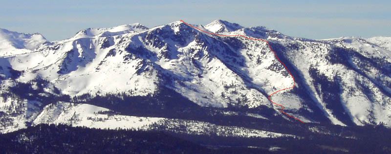
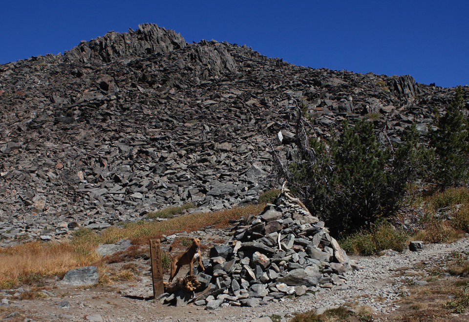
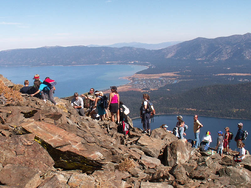
Tallac is the tallest mountain
rising from the shore of Lake Tahoe and
is one of the most popular day hikes in the basin. The Spring Creek
Trailhead primarily serves as a winter entrance, allowing access via a
thoroughfare up the NE Ridge (in the summer, there is no maintained
trail here).
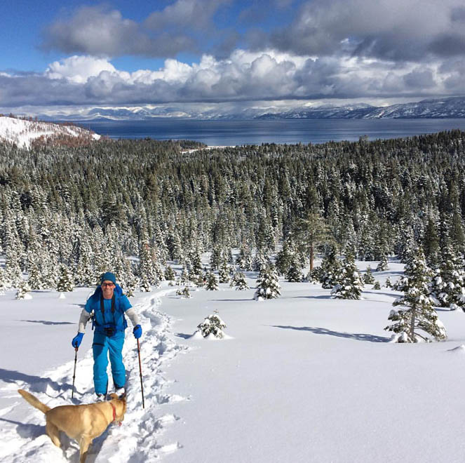
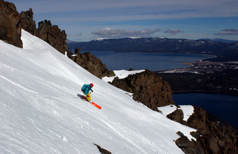
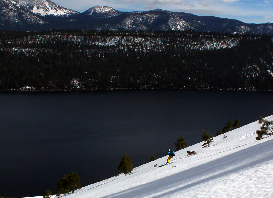
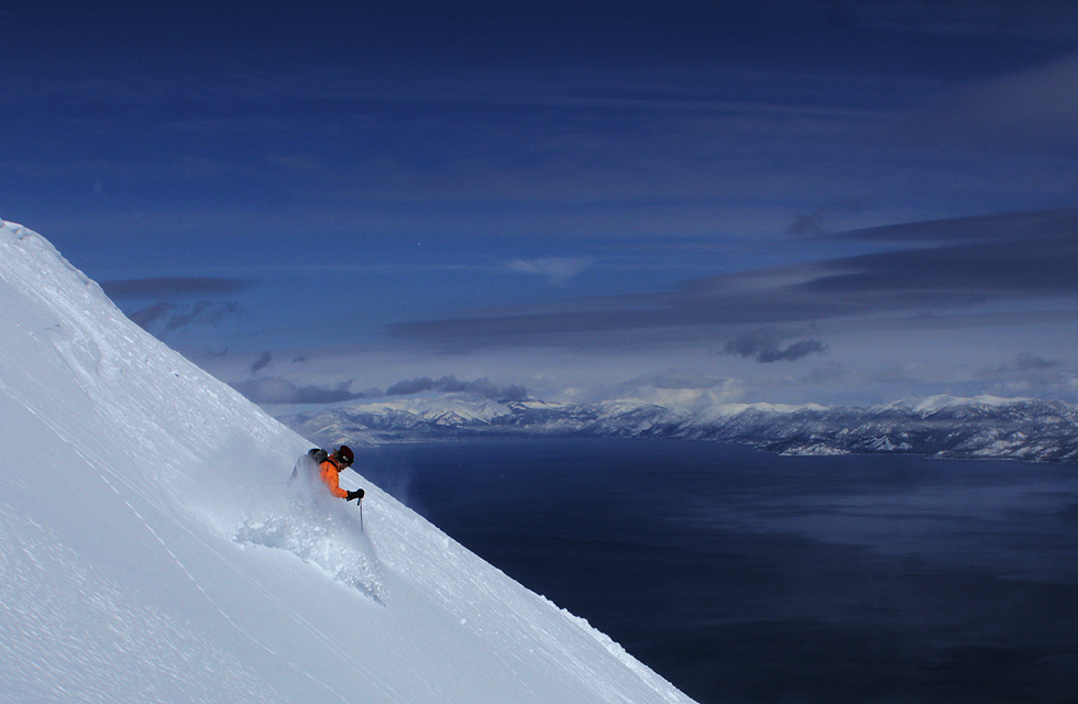
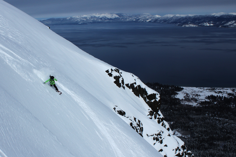
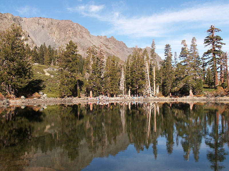
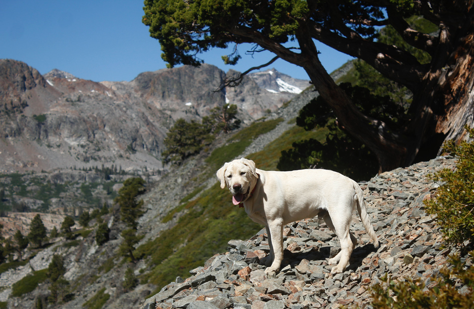
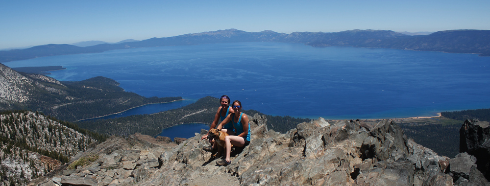
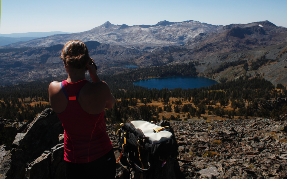
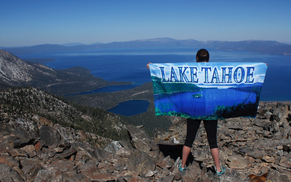
The views from the top are amazing. Below you are Gilmore Lake, Fallen
Leaf Lake, Cascade Lake, Emerald Bay, Lake Aloha, Lake of the Woods,
and of course the Big Blue herself.
Tallac in the
Winter (or spring)
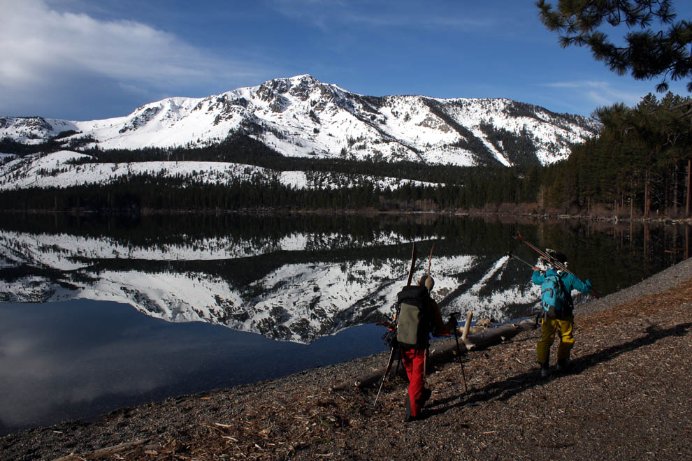
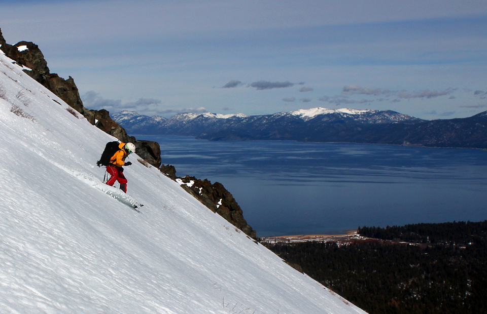
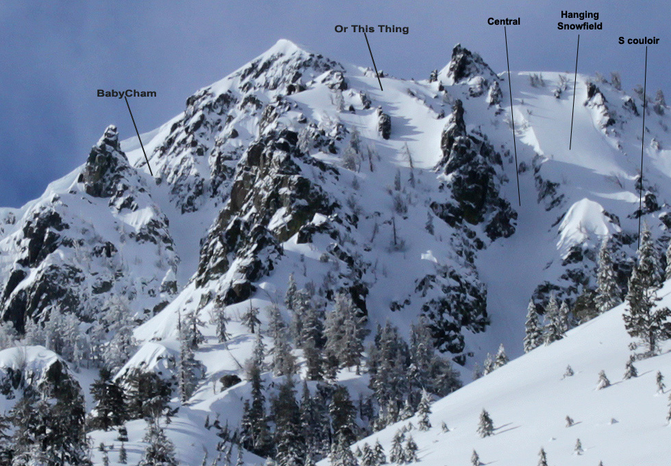
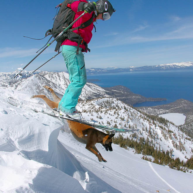
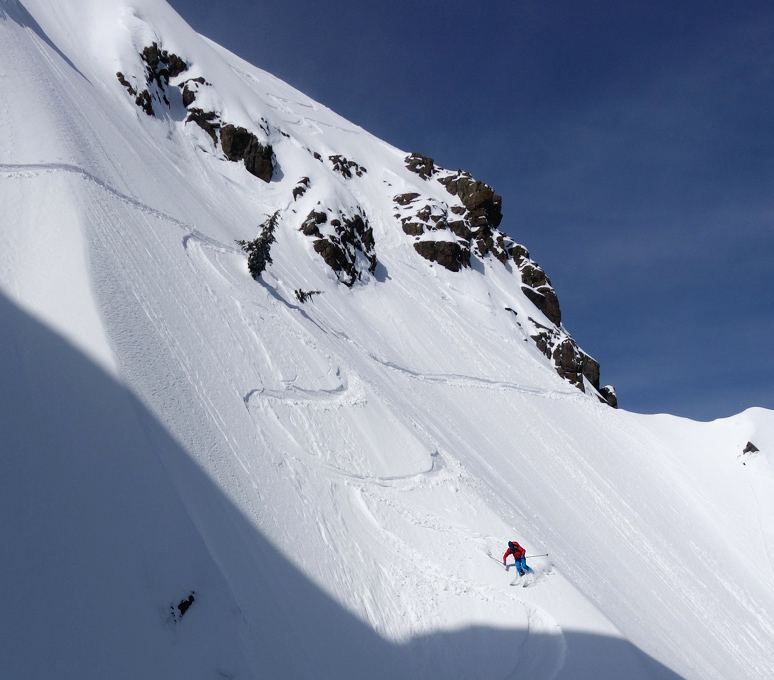
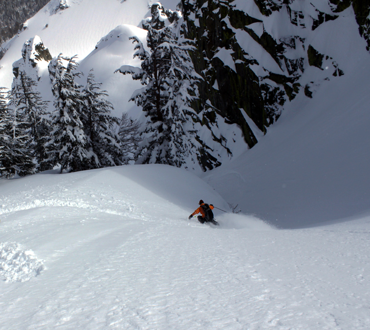
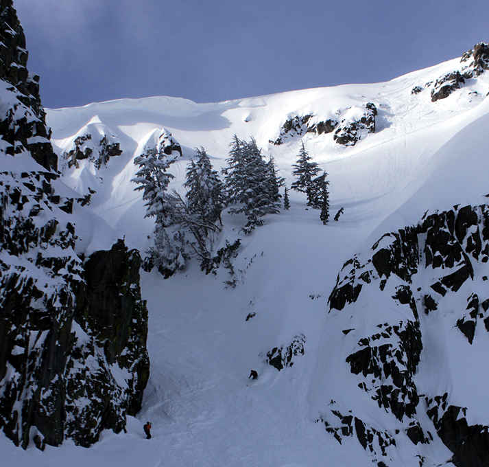
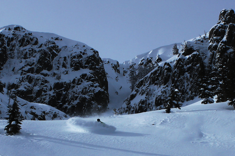
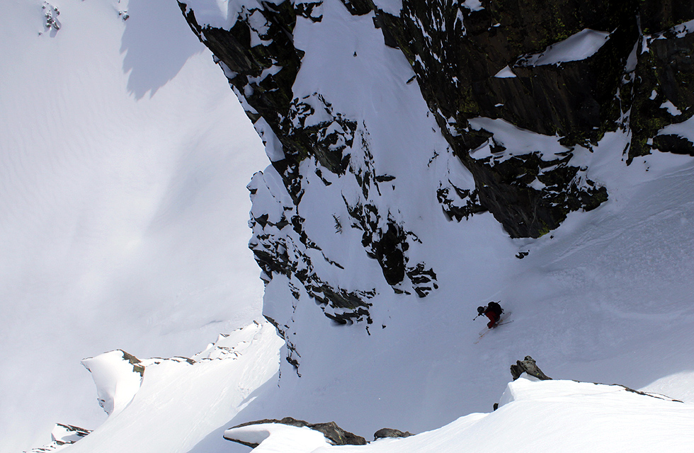
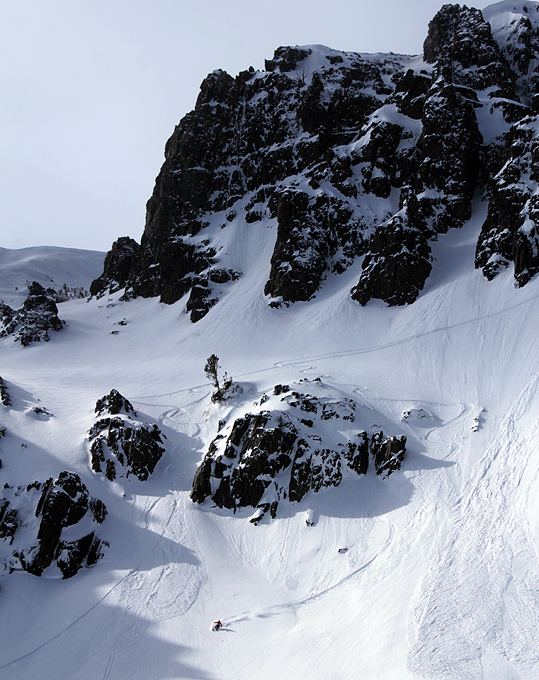
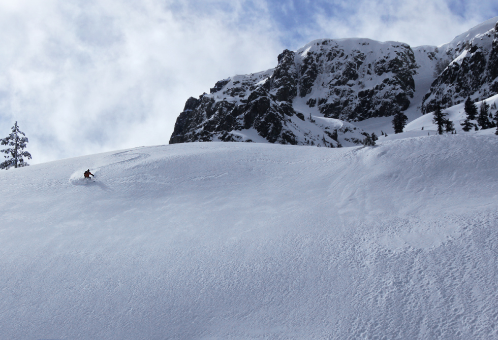
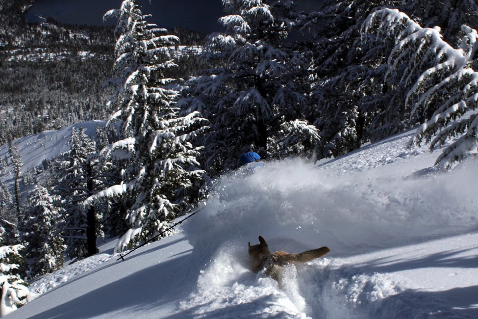
In the winter Tallac is one of the finest backcountry ski tours in the
Tahoe area. There are a number of ways both up and down and it is
located right off Highway 89. The skin up the NE Ridge
is a steady incline which gives you a break by
getting easier towards the top. The ski takes you back to the car with
no uphill or skating necessary. The entire tour comprises of about
3,100 feet of vertical but can be done in less than four hours. Access
is best through the Spring Creek Road which is marked well off of Hwy
89 (the road is gated and you must not block the gate by parking
there).
Tallac
in the
Summer (or fall)
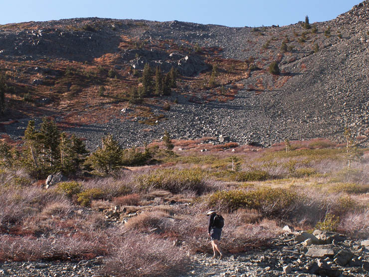
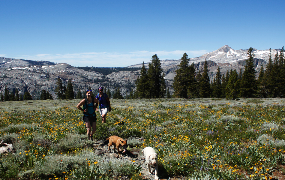
There are many different ways to access Mount Tallac during the summer.
The trail from the Glen Alpine Trailhead takes you up the western flank
past Gilmore
Lake or there is a long traverse that starts behind the
bathrooms above the parking area.
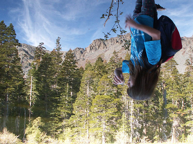
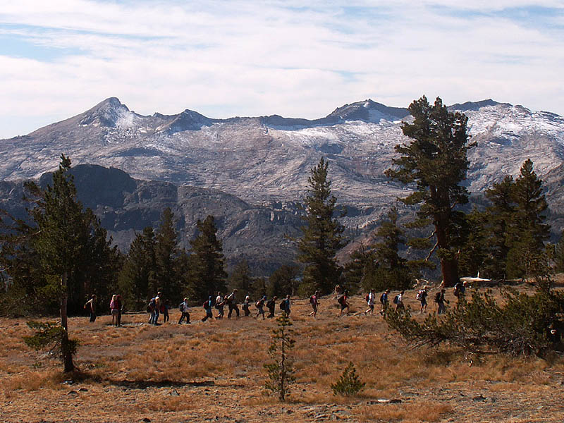
While the peak lies within Desolation Wilderness, it is anything but
desolate. You're likely to see many people no matter what time of year
you make the trip. Personally, I prefer the trip past Gilmore Lake as
it presents more opportunities for swimming, fishing, etc. Keep in mind
thoiugh the flats around Gilmore Lake can be very buggy. The actual Mt.
Tallac trailhead takes one past Floating Island Lake and Cathedral
Lake. To access the trailhead turn off Highway 89 opposite Baldwin
Beach about 4 miles from the 'Y'. Trails
also start from both sides of Fallen Leaf Lake (actually they are both
on
the west side). All the trails meet for the final ascent to the summit.
|