|
The Vitals
|
 |
Great
intermediate climbs and first leads.
|
 |
Steep approach
|
Locals Tips
Divided Sky for beers after.
Dogs?
Yes
Links
Luther Spires on Supertopo, Mountain
Project, Rockclimbing.com,
theCrag.com
The Routes
Beer and Hot Dog, 2 Bucks (5.8)
Cheap Commercial Steak Sauce, Two Fifty (5.10a)
Dog and Grigri, 2 Bucks (5.9)
Hey Y'all, Watch This (5.7)
Jacko (5.10b)
Just Jerry (5.9)
Jackass (5.11c)
Jane's Spy (5.7)
Just Cause (5.10a)
See Thru (5.8)
Mixed Emotions (5.10a)
Guide's Route (5.7)
Slab B (5.7)
Unnamed Toprope (5.10a)
Fire Starter (5.10c)
Plane Crash (5.10b)
Just Do It (5.10c)
Virginia (5.10b)
Back Crack (5.9)
Original Route (5.11)
Widowmaker (5.10a)
Undertaker (5.10b)
|
|
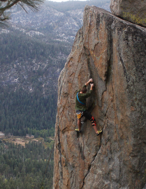
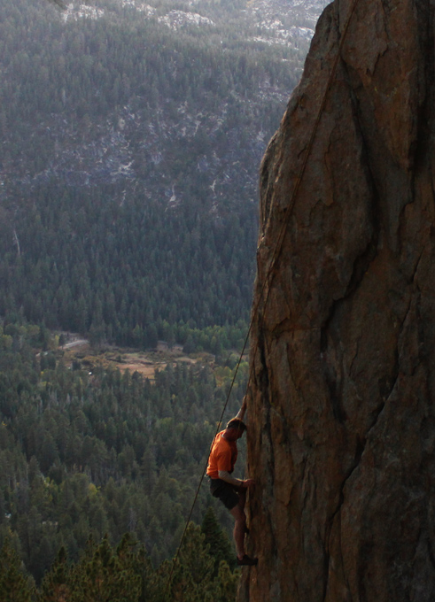
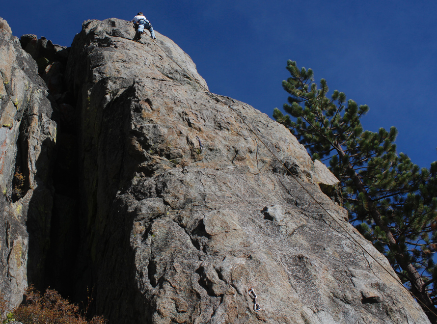
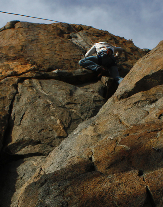
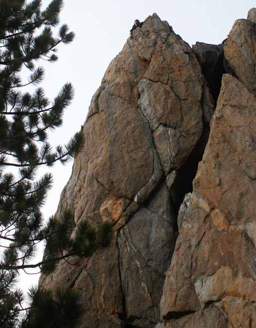
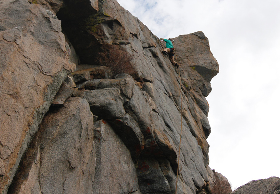
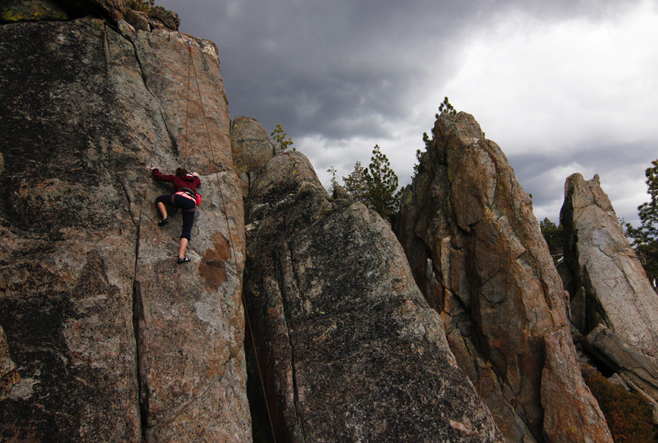
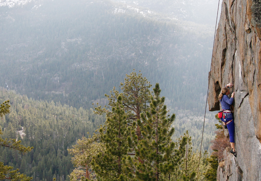
Luther Spires
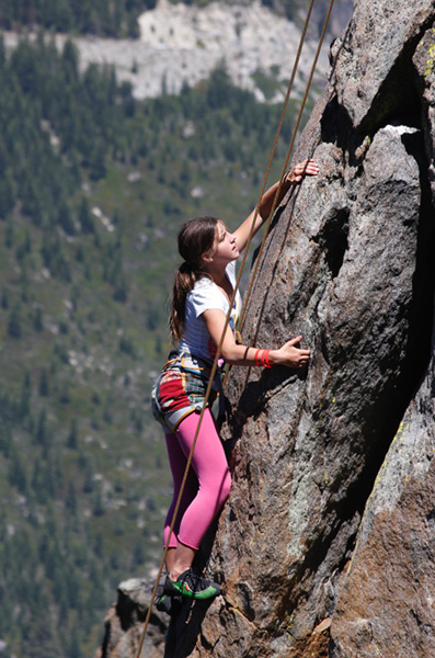
Luther Spires probably has
some of the best variety of intermediate climbs to be found in the
South Lake Tahoe vicinity many of which can be led or top roped. There
are a couple of great first leads including Jane's Spy and Slab-B. The
area faces west which means despite it's relatively high elevation it
is ready to go in mid to late spring most years (although the approach
is steep and can be dangerous in snowy/icy conditions). The spires are
granite but have loads of features and incut holds making it a great
learning area. The climbs are generally 25'-60' with a couple
approaching 70' so even a fifty meter
rope will usually do the trick. Bring plenty of draws and a small rack (up to 2") for
most climbs. and a small rack (up to 2") for
most climbs.
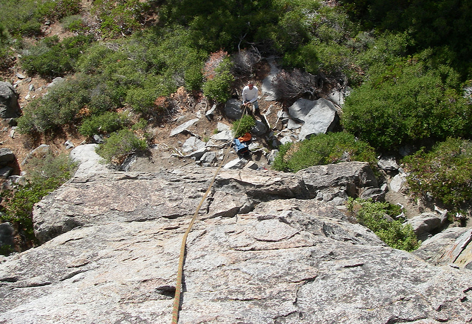
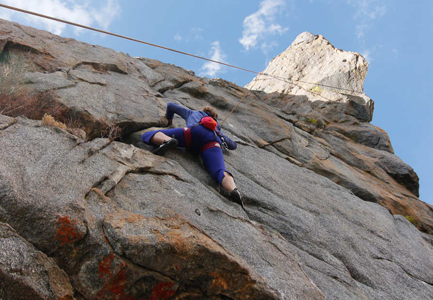
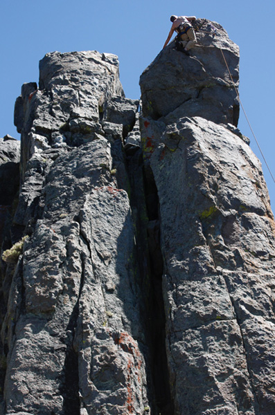
A side note: There are more top rope options than reported in the
supertopo guide. There is a small way through a tunneling chimney that
will get you to the top of Jane's Spy, Jack Ass, and Jacko and this
comes in particularly handy first leads on Jane's Spy since the leader
can anchor themselves, and the belayer can move to the top and show the
aspiring leader how to pull up rope and prepare to rappel down.
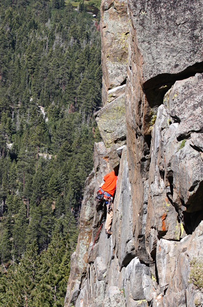
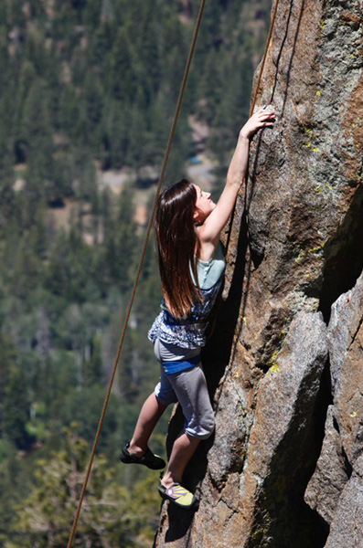
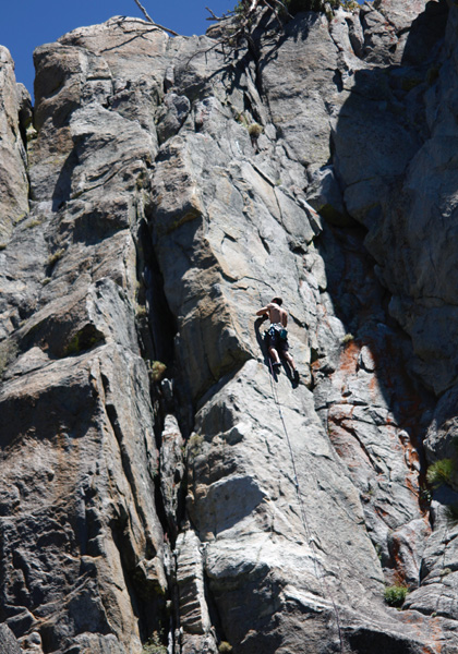
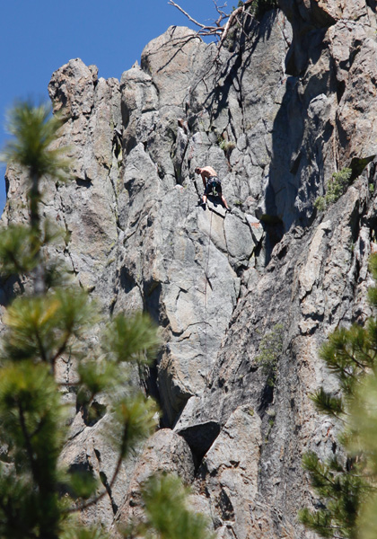
Luther Spires Pictures


Directions
- From Meyers head south
on 89. You will see a large pullout just past
the Big Meadow trailhead parking area on the left side of the road. The
trail heads off perpendicularly and then crosses the Rim
Trail. After crossing a creek it gets rather steep. The approach
takes about 20-30 minutes.
|