The Vitals
|
|
Directions-
Emerald Bay is
located on Hwy 89, 10 miles north of the "Y" or 22 miles south of Tahoe
City's "Y". The hiking trail begins at the Harvey West parking lot on
the north side of the bay. Topo map
- State Park Web Site
|
 |
Easy
Hike.
Stunning views almost the whole time. |
 |
Not off the beaten
path at all.
Lots of boats at the beach.
|
Locals Tips
Arrive early in summer for
parking.
|
Recommended Gear
Hiking Shoes
Hydration Pack
|
|
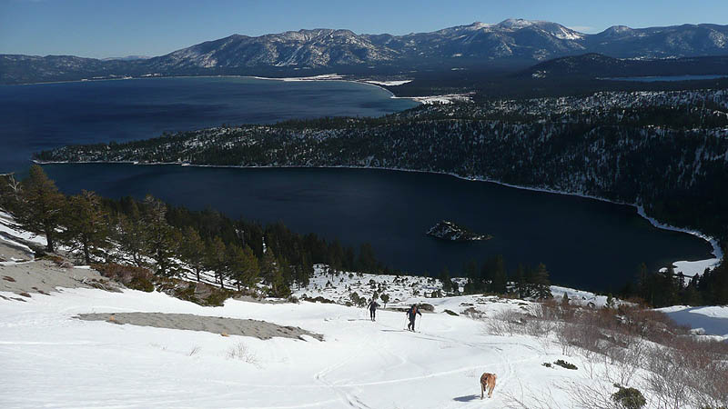
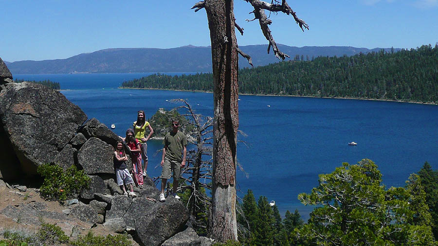
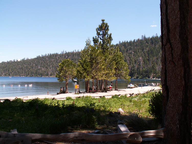
Where the mouth of Eagle Creek meets
the head of Emerald Bay you will find a beach as beautiful as any you
could imagine. Surrounded by peaks rising sharply almost 3,000 feet
from the lake, the bay itself has been deemed one of the 'most
photographed places on earth'. However, you won't find this beautiful
beach without a hike or a boat. The hike is about 1 mile on what is
basically a road and there is about 450 feet of elevation change. The
beach would be an excellent place to swim but on a typical summer day
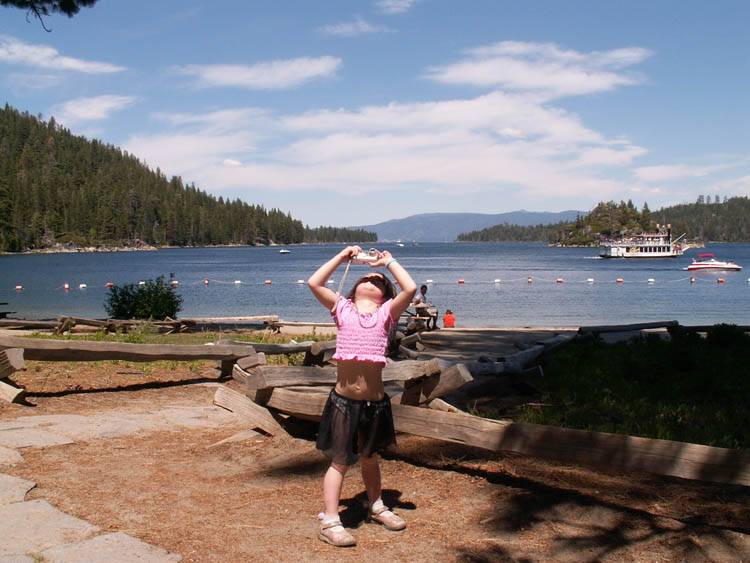
there are a lot of boats anchored on the beach. Unlike other beaches on
the lake, the water gets deep quick here. There is plenty to do though,
even for the little ones. The south side of Eagle Creek does have a
large shallow area thats good for kids and there's plenty of sand at
the beach. The pier, when uncrowded, is ideal for jumping off of. If
that's not enough, head underwater. In 1994, Emerald Bay received a
designation as an underwater park, featuring relics
from the days gone by when there was a hotel on the north side of the
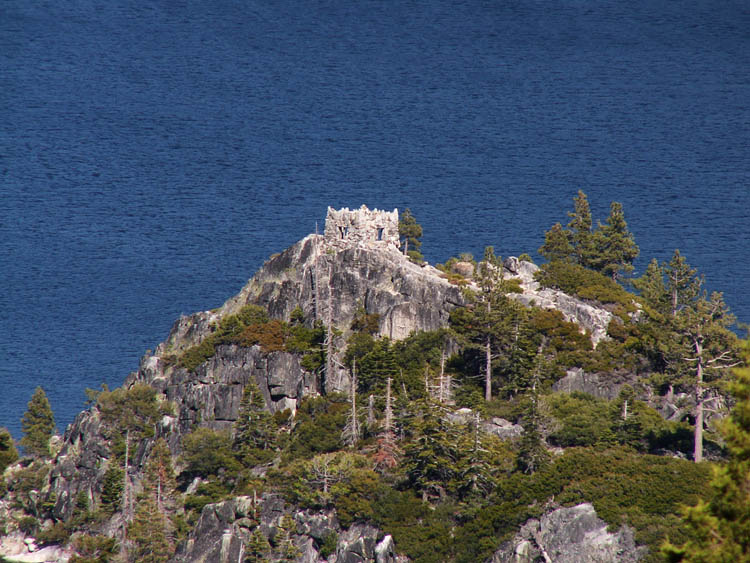
bay. Other items of interest in Emerald Bay State Park are Fannette Island, Vikingsholm, and Eagle Falls.
There are numerous companies that cruise to Emerald Bay and they come
in all shapes and sizes.
|


