The Vitals
|
|
Elevation
- 10,059', Rock - Igneous Scree
Directions
- Park at Carson Pass North parking (paid or Sno Park) or
park along Highway 88 under peak. In summer you can drive close to
Crater Lake with a Subaru type and to Crater Lake with a high clearance
4wd.
|
 |
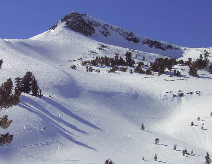
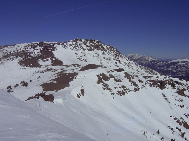
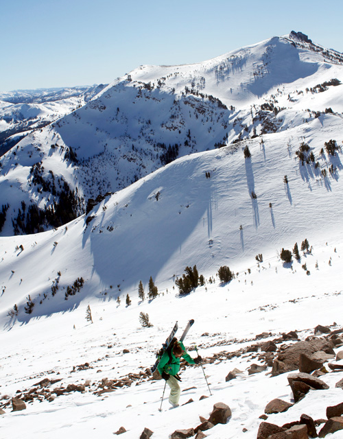
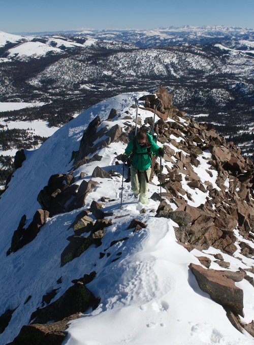
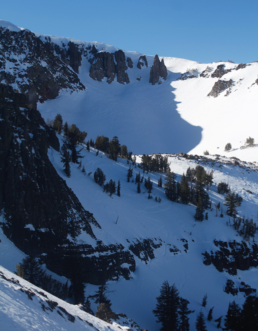
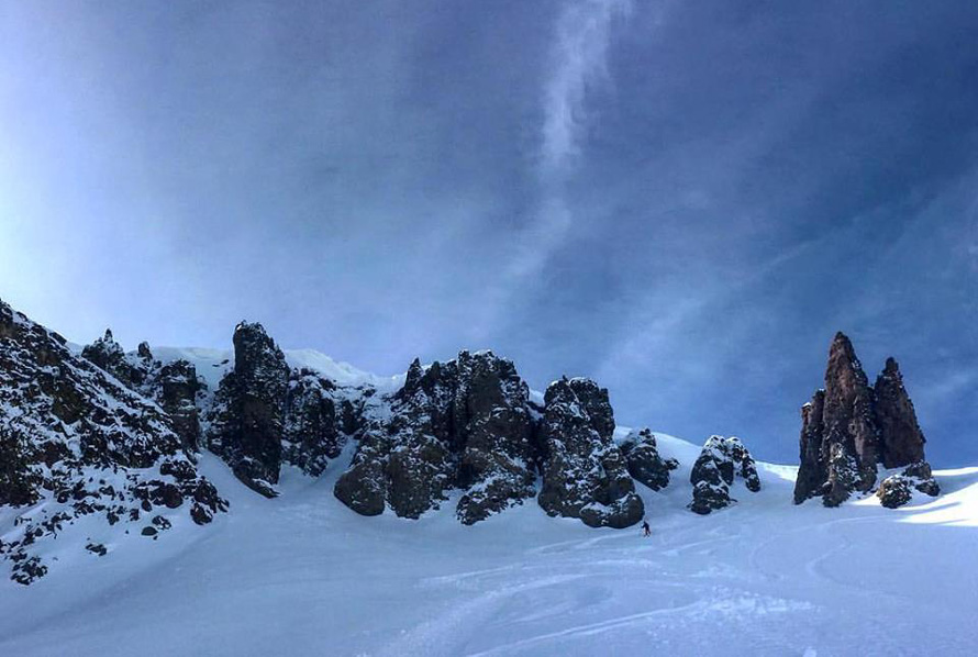
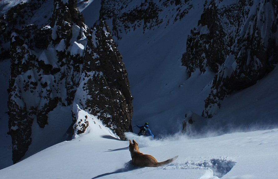
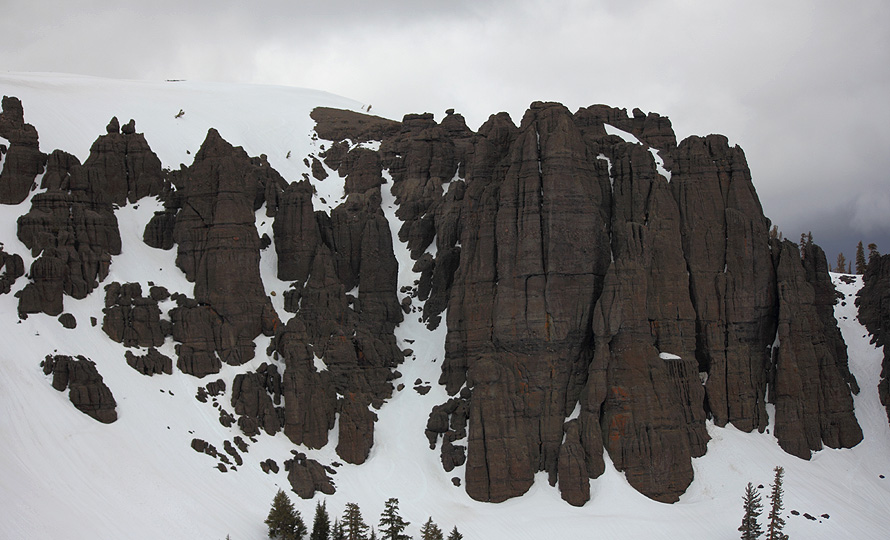
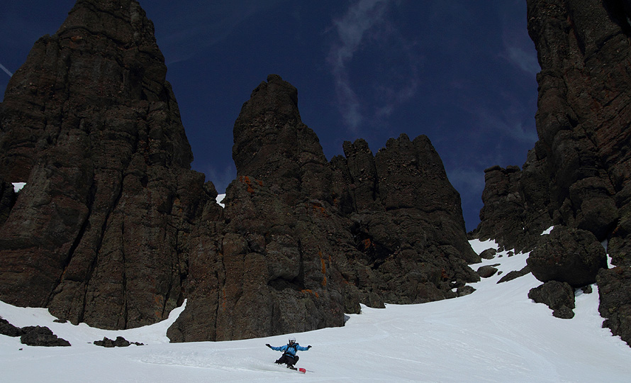
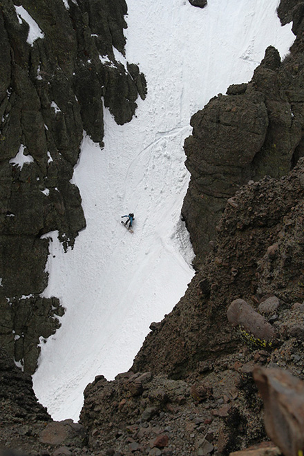
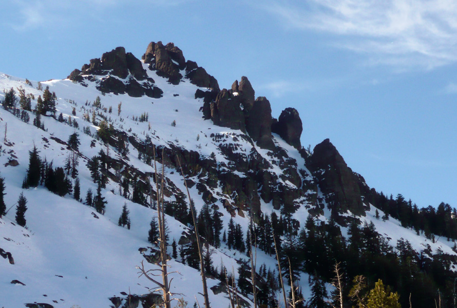
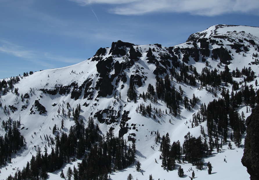
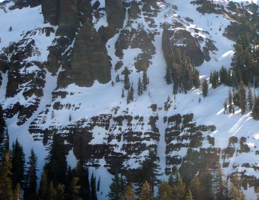
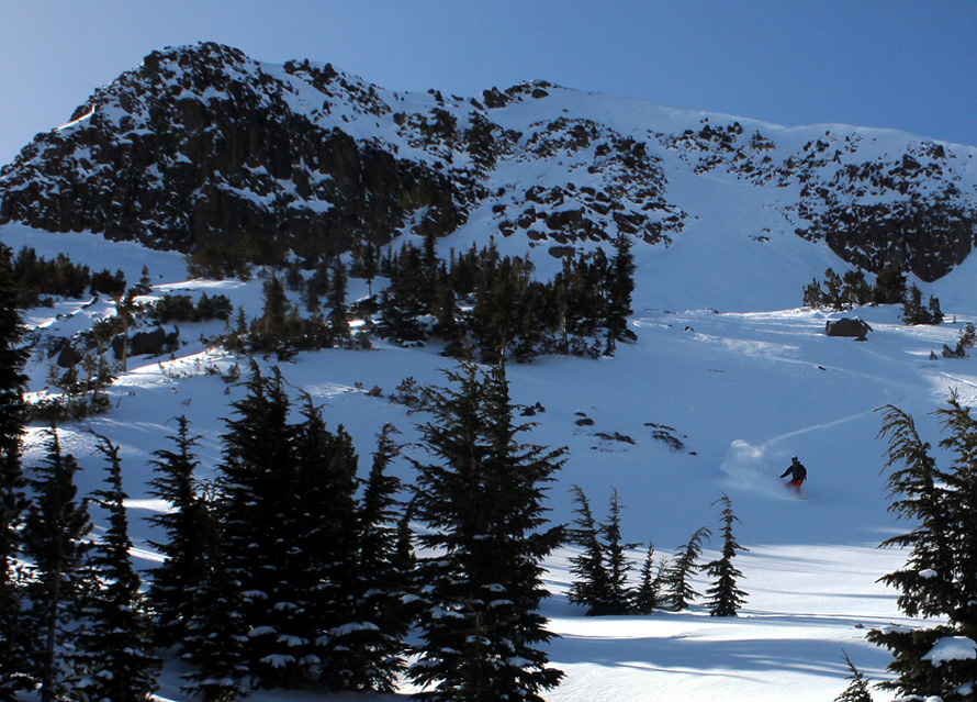
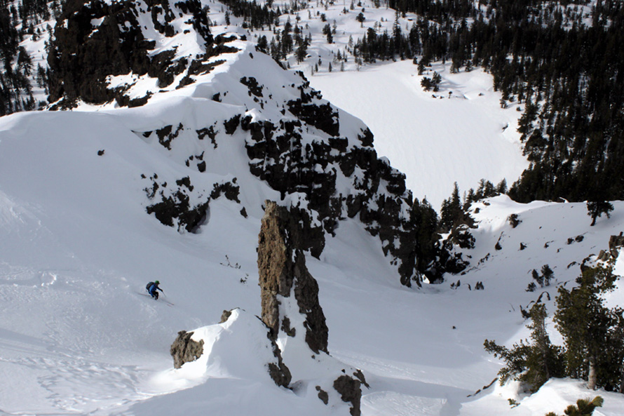
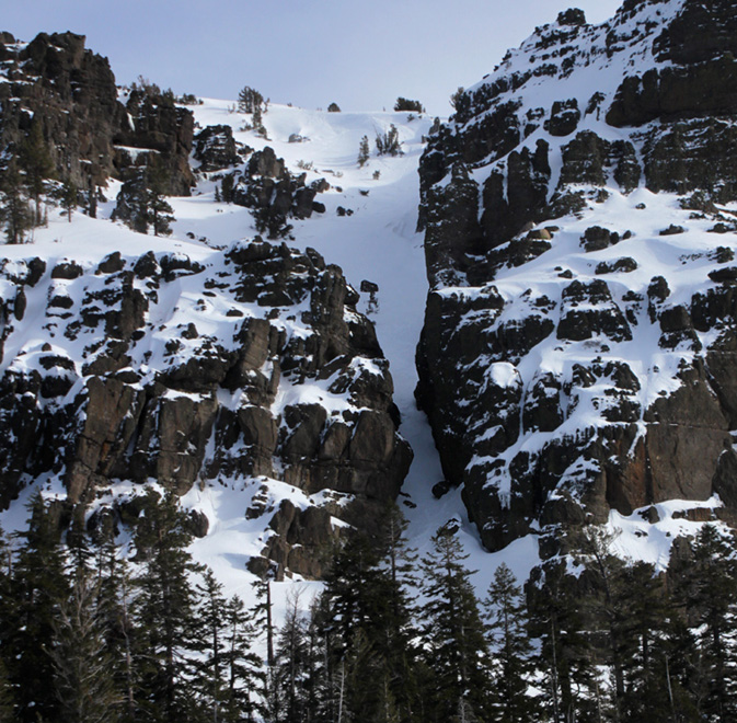
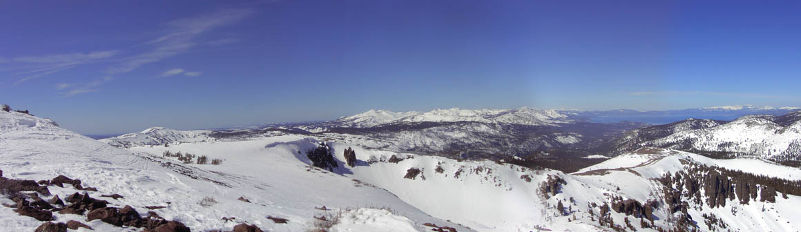
Crazy
rock formations
Great terrain |
 |
Little in the way of
trails on the peak
|
Locals Tips
Divided Sky after for beverages.
|
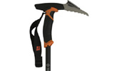
Recommended Gear
Climbing Skins
GPS Device
Backcountry
Touring Pack
Hydration Pack
|
|
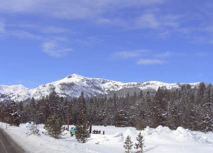
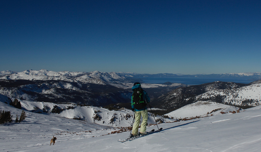
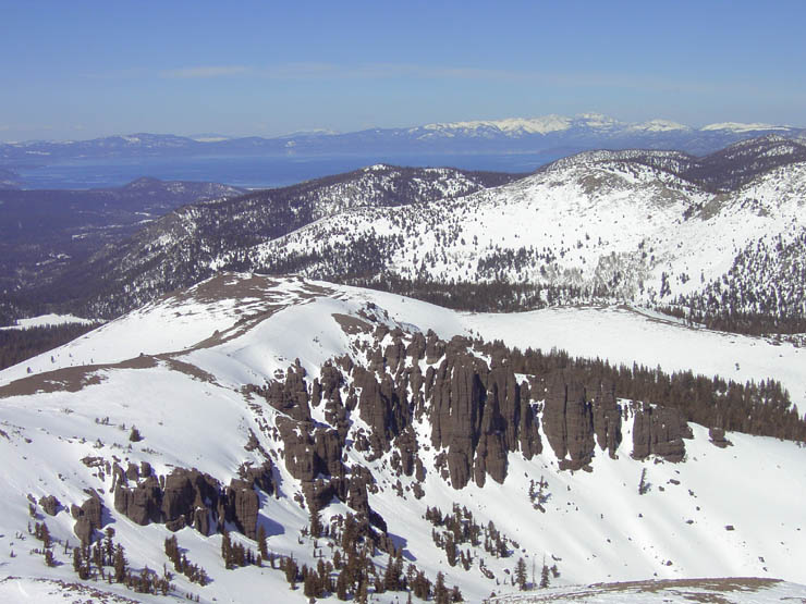
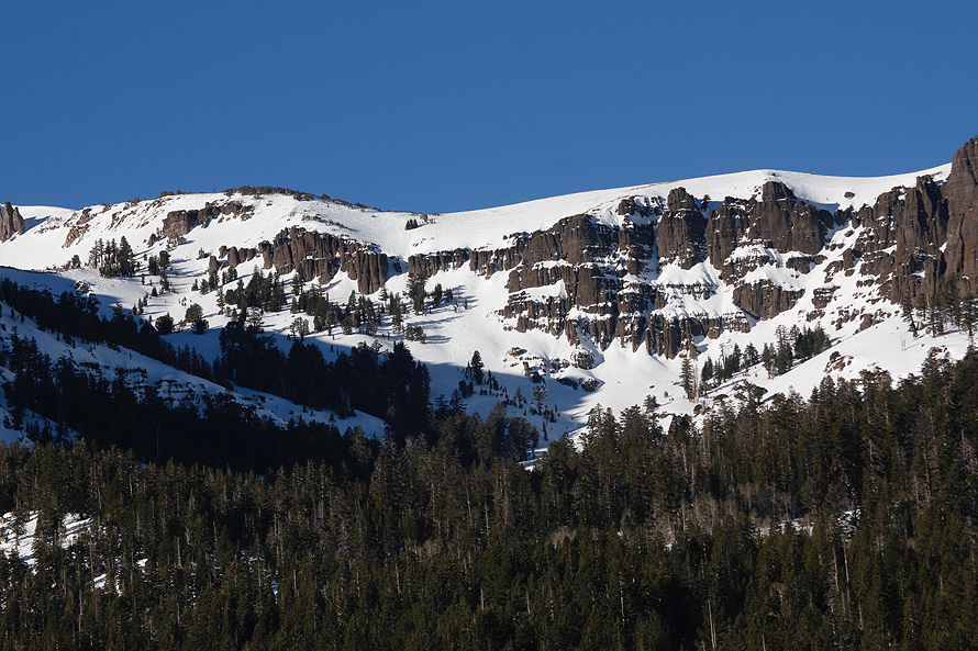
South of Lake Tahoe you'll find the
many joys of Highway 88. High among these is Stevens Peak. In both
winter and summer it is an easy peak to access, though further from the
road than Red Lake Peak. The views from the peak are spectacular, as
are
the views from all the peaks within view of Lake Tahoe. It is the rock
formations that set this area apart however. If you approach
from Big Meadow you'll first notice this in the cliffs above Round
Lake. From the peak you can't see those but you can see many more. The
easiest routes to the peak are
1. From straight off Highway 88 in the middle of Hope Valley, west of
Blue Lakes Road (there is a pullout on both sides of the road here). or
2. Leave 1 car at the above spot and shuttle to the top of Carson Pass
(Meiss Meadow Lot). Hike in past Red Lake Peak and enjoy.
If you park at Carson Pass you must have a Sno Park Permit,
which can
be purchased at the Roadrunner or Chevron on the way out of Lake Tahoe
in Meyers. If you're coming from the west, Kirkwood usually has a
supply, but try to get one beforehand because if they are out you're
hosed.
|