Trails at a Glance
|
| Spooner - Bench |
Length (1 way) - 5.1 miles |
Elevation change - 1,800' |
Difficulty - Intermediate |
Other Users - Hikers, Horses |
| |
| Kingsbury - Bench |
Length (1 way) - 7.1 mile |
Elevation change - 1,300' |
Difficulty - Intermediate |
Other Users - Hikers, Horses |
| |
| Chinese Downhill |
Length - 3 miles |
Elevation Change - 1,300' |
Difficulty - Intermediate |
Other Users - Moto-x, 4 wheelers |
| |
| Directions |
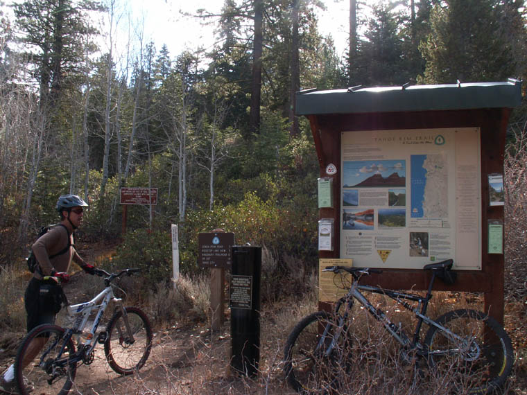
Spooner Summit - The trailhead for the Tahgoe Rim Trail is at the top of Spooner Summit (Highway 50) in the North side. There is ample parking.
Kingsbury Grade - Turn onto Kingsbury Grade (207) from Highway 50 in Stateline. Turn left onto north Benjamin and follow to the top. At some point the road becomes Andria Drive. The trailhead is at the top on the left. |
| |
| Nearby Bike Shops |
South Shore Bikes - Ski Run Blvd..
Sierra Ski and Cycle Works - Highway 50 just east of Safeway in South Lake Tahoe.
Flume Trail Mountain Bikes - Spooner Lake Recreation Area (Spooner Summit)
all figures are approximate
Book a shuttle to either trailhead with Wanna Ride Tahoe.
|
|
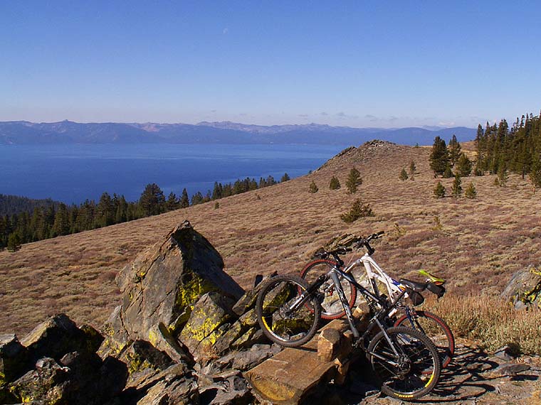
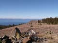
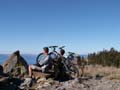
The Bench
The Bench is exactly that. A bench tucked amongst the rocks on a ridgetop
along the Tahoe Rim Trail. It can be approached either from the Kingsbury Grade or Spooner Summit. The route is longer from Kingsbury Grade, but there is less elevation change. The bench is not the highest point on the trail, but is very close to it. Though not marked, you can locate it on the Trail Map by finding the '1.8' under South Camp Peak
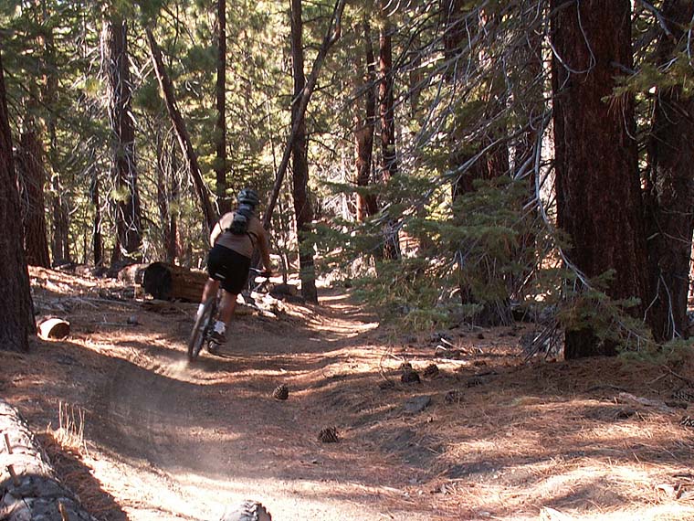
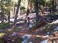
The ride is only moderately technical in either direction except for 1 or 2 very short sections. There are stunning views all along the trail. Don't be fooled by the small difference in Kingsbury starting elevation and that of the bench, there are some big elevation changes along the way. Don't plan on saving too much time coming out on the 'downhill' section. There are some different finishing options, especially when ending on the Kingsbury side. The Chinese Downhill starts near the trailhead on Andria Drive and Jackie Chan is also nearby.
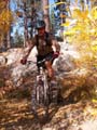
Click on the images below to enter the gallery.
|