|
Trail at a Glance
|
| Mr Toad's Wild
Ride |
|
Length (one way) - 3.6 miles
|
|
Elevation change - 2,200' (downhill)
|
|
Difficulty - Expert
|
|
Other Users - Hikers
|
| |
| Big Meadow to
Mr. Toads |
|
Length - 4.4 miles
|
|
Elevation change - 1,530'
|
|
Difficulty - Intermediate
|
|
Other Users - Hikers, Horses
|
| |
| Luther Pass to
Mr. Toads |
|
Length - 3 miles
|
|
Elevation Change - 1,115'
|
|
Difficulty - Intermediate
|
|
Other Users - Hikers, Horses
|
| |
| |
| Directions |
|
The bottom of the shuttle trailhead is
on Fountain Place Road (Oneidas). There is a pullout on the right side
with a gravel road leading away from it.
Oneidas Street is located off Pioneer Trail about 1 mile from the
intersection with Highway 50 in Meyers.
all figures are
approximate
|
| |
| Nearby Bike
Shops |
|
Wattabike
- Next to Roadrunner Gas Station in Meyers.
Sierra Ski and Cycle Works
- Highway 50 just east of Safeway in South Lake Tahoe.
Book a shuttle to Luther Pass with Wanna Ride Tahoe.
|
|
Mr. Toads Wild Ride
Toads is one of the biggest
draws for in the Tahoe Basin for serious mountain bikers. Having rode
much of what Lake Tahoe offers Toads is hard to beat in terms of
technical downhill options. It's also hard to beat in terms of flowy
single track. There are a number of ways to enter, ranging from the bottom of the
Christmas Valley Downhill, to the Kingsbury South Trailhead of the
Tahoe Rim Trail. The most common method is the shuttle with one car at
the trailhead on Oneidas Street and the other at the top of Luther
Pass. the most common loop is to leave a car at the bottom on Oneidas
and riding up Oneidas to Armstrong Pass. On some maps it is called the
Saxon Creek Trail. The trails here are no place for your car or
off-road vehicle. It is best to leave them at the end of the trails.
Trail
Map
The official downhill starts where the Saxon Creek trail leaves the
Tahoe Rim Trail, but no matter which way your coming from, you've
already been going downhill on the rim trail for at least a little
ways. After about a quarter mile on the actual trail
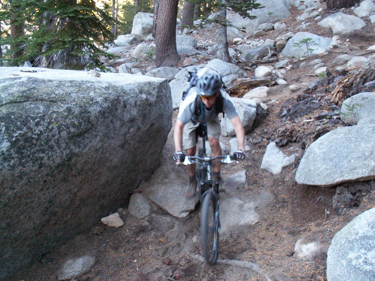
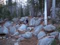
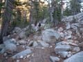
you will come to the most technical sections of the entire ride. There
are three separate sections one after the other that require the
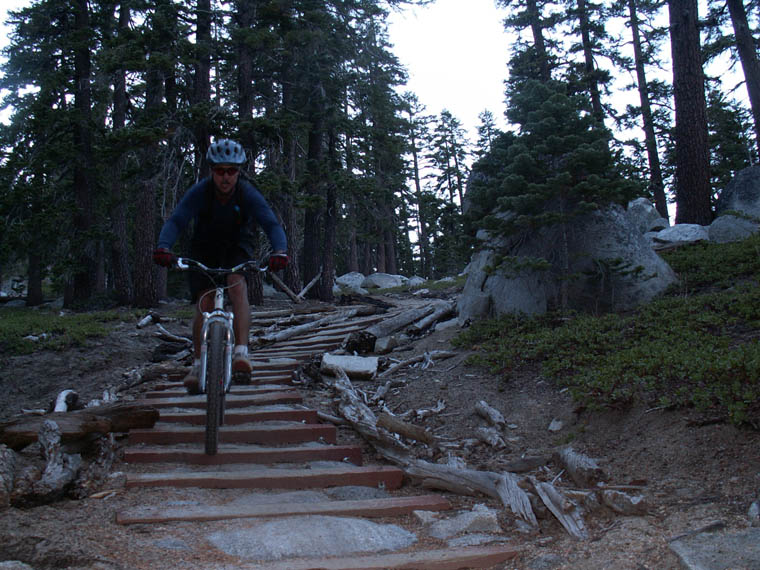
majority of riders to walk down. From here on it's a mix of technical
and super flowy. Parts can get a little loose in dry summers, but in
general the trail stays in good shape. Near the bottom you'll come to a
left turn. This takes you to Christmas Valley, which is another popular
way to loop it.
Click on the images below to enter the gallery.

  
|