Trails at a Glance
|
| Big Meadow to Kingsbury |
Length - 22.8 miles |
Climbing - 3,200' or 4,000' |
Difficulty - Intermediate to expert |
Other Users - Hikers, horses |
| |
| Big Meadow to Star Lake |
Length (loop) - 28 miles |
Climbing - 4,000' from Luther Pass |
Difficulty - Intermediate |
Other Users - Hikers, horses |
| |
| Stagecoach - Star Lake |
Length (loop)- 17.6 miles |
Elevation Change - 2,600' |
Difficulty - Expert |
Other Users - Hikers, horses |
| |
| Fountain Place Rd - Armstrong Pass |
Length - 2 miles |
Climbing - 1,000' |
Difficulty - Intermediate |
Other Users - Hikers |
| |
| High Meadows - Star Lake |
Length - 2 miles |
Elevation Change - 2,400' |
Difficulty - Intermediate |
Other Users - Hikers |
| |
| Directions |
The Stagecoach Lodge parking is easy to find. Go up Kingsbury Grade, at the top turn onto Tramway Drive. Stay on that road until you get to Stagecoach Lodge. The other side, Big Meadow Trailhead is up Highway 89 on the left hand side, and the entrance is rather hidden, but not to bad. Further up, at the top of the pass is another entrance to the Rim Trail. You'll probably want that one if you're starting at that end. |
| |
| Nearby Bike Shops |
Wattabike - Next to Roadrunner Gas Station in Meyers.
Sierra Ski and Cycle Works - Highway 50 just east of Safeway in South Lake Tahoe.
Book a shuttle to either trailhead with Wanna Ride Tahoe.
all figures are approximate |
|
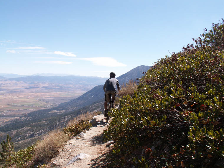
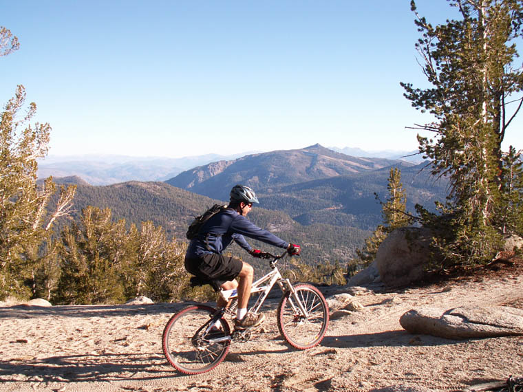
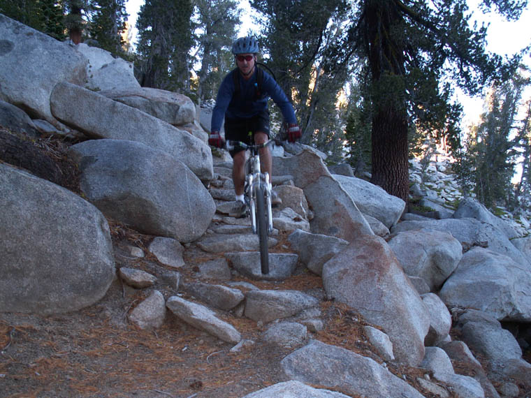
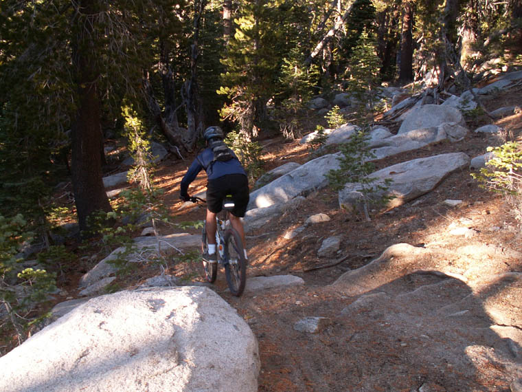
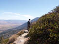
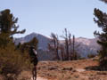
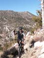
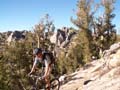
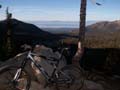
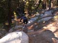
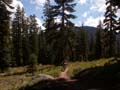
Tahoe Rim Trail - Big Meadow to Kingsbury
The Rim Trail between Kingsbury and Big Meadow is a wonderful ride when done from one end to the other. But there are also a number of variations as well as entrance points. We'll try to cover most of them below.
Trail Map
Tahoe Rim Trail from Big Meadow to South Kingsbury
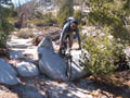
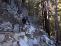
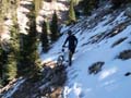
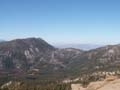
Following the trail from Luther Pass to Heavenly's Stagecoach Lodge. If you start at the top of the pass rather than the Big Meadow Trailhead you shave 1.4 miles and 600' of climbing off the start of your trip. Naturally, if your leaving from Stagecoach you'll want to end at Big Meadow rather than the top of the pass. The most technical section is the ride from Monument Pass to Stagecoach Lodge. There are some technical sections with exposure on the side. Slightly less technical is the section from Armstrong Pass to Mr. Toad's. A large portion of the ride (from Armstrong Pass to Monument Pass) is an up and down traverse with the hill on your right (coming from Armstrong Pass). When you reach the shoulder of Freel Peak you will be at 9,700'. From here, you can stash or lock your bike and climb the 1,100' to the summit of Freel Peak, the highest in the basin.
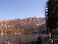
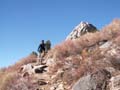
High Meadows to Star Lake
This is an easy to intermediate 1.25 mile uphill with one stair section about 2/3 of the way through. If you're just going out and back to the trailhead you'll want to turn around at the flat section before downhill traverses. Otherwise, continue on the Rim Trail to the Christmas Valley Downhill cutoff. Here, you can continue on about a half mile to Round Lake (and further until you reach the PCT). A sharp right takes you to the Christmas Valley Downhill.
Fountain Place to Armstrong Pass
In 2007, the new single track opened, taking the place of the old road up the drainage. My first time up, the trail was very new and very loose. We'll see how it is after a snowpack sits on it for a couple months. Either way, it's now all single track, which can only be good. Coming down this way from Armstrong Pass means you'll have all the options of the Fountain Place (Oneidas) area starting with the Armstrong Connector which takes you down to the Corral Loop or Sidewinder and more.
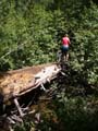
Click on the images below to enter the gallery.


|